Springs, Gravel and a Careful Slope: The Land That Made Chenies
Most of us walk through Chenies without asking the land a question. We head to the shop, the church, the pub or the footpath, and the village does what villages do: it gets us from one place to another. But stand still on the green for a minute and the shape of the place starts to make sense. Chenies is not scattered at random across Buckinghamshire. It sits where it sits because of water, slope and a few useful patches of gravel.
Starting on the Green, Thinking About Levels
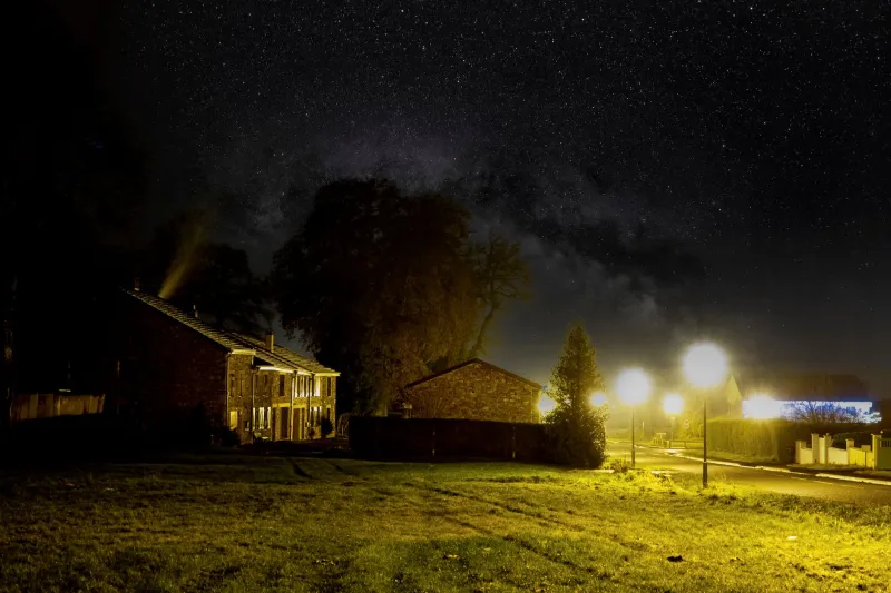
The green is a good place to begin because it is flat. That sounds obvious, but flatness matters here. A village green needs ground that drains, a spot where people can gather without standing in a bog, and enough level space for a market cross, a noticeboard or a conversation. Around Chenies, flat ground is not everywhere. The landscape tilts and folds, and the green is one of those rare shelves where the land behaves itself.
Look east or west and you can feel the drop beginning. The lanes do not run in straight lines for long. They bend because the ground makes them bend. Houses sit on terraces or tucked into slopes. Gardens are cut into levels. A wall that looks decorative from one side may be doing the quieter job of holding back a bank. None of this is dramatic. That is the point. Chenies wears its geography lightly, but it is there in every kerb and gatepost.
Chalk Above, Water Below
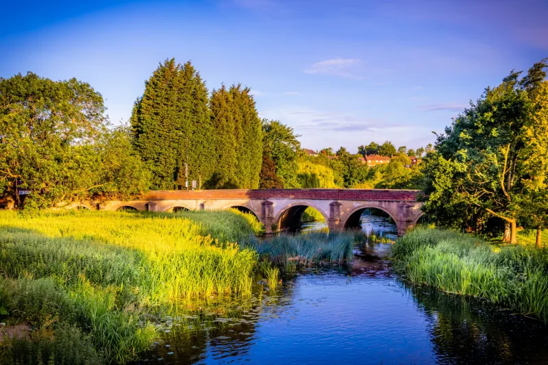
The Chilterns are chalk country, and chalk is a strange, useful neighbour. It is porous, so rainwater sinks into it rather than sitting on top. That is why the higher ground around Chenies can feel dry underfoot while the valley below is damp, green and full of moving water. The River Chess is a chalk stream, fed by springs that emerge where the geology changes. It is not a noisy river. It slips along the valley floor, clear and quick, doing the patient work of a stream that has been at it for a very long time.
The village sits above that valley, on the edge of the chalk. That position gave Chenies two things at once: dry ground for building and a reliable water supply nearby. It is an old arrangement, and you can still read it in the layout. The higher lanes feel open and breezy. The lower lanes feel enclosed, damper and more sheltered. Between them, footpaths drop through trees and hedges towards the Chess.
Gravel matters too. Patches of river gravel and sandy drift sit in the valley and along some of the lower slopes. Gravel is good for tracks, foundations and drainage. It is also good for telling you where water has been. If you see a path that stays firm in wet weather while the field beside it turns soft, there is a good chance you are walking on older river deposits, or on a track that has been reinforced by centuries of use.
Springs, Ditches and the Art of Drainage
Water is the quiet engineer of Chenies. Springs do not announce themselves. They seep. They appear in the corner of a field, in a ditch beside a lane, or at the foot of a bank where the chalk meets something less willing to let water through. In winter, these small wet places become obvious. In summer, they disappear into grass and nettles.
Drainage is one of those subjects that sounds dull until your path is ankle-deep in mud. The village has had to manage water for as long as it has existed. Ditches carry it away from lanes. Culverts take it under tracks. Gardens have soakaways, raised beds and gravel margins. Field gates sit slightly above the ruts because someone, at some point, worked out where the water wanted to go. None of this is grand engineering. It is ordinary, practical, local knowledge, passed down through maintenance rather than meetings.
When you walk down towards the valley, watch how the ground changes. The top of the lane is usually drier. The middle section may be shaded and slightly soft. Near the bottom, the sound of water becomes more likely. You are not just descending; you are crossing from one kind of ground to another. The Chess Valley is not a separate place from Chenies. It is the reason Chenies has a bottom as well as a top.
Boundaries That Refuse to Vanish
Old field boundaries are another layer of the story. Hedges, fences and walls mark ownership, but they also mark changes in soil, slope and drainage. A hedge that runs along a break in slope may be following a spring line. A wall that seems to cut across a field may be separating dry ground from wet. Some boundaries are ancient; others are Victorian; most have been repaired so many times that they are a bit of everything.
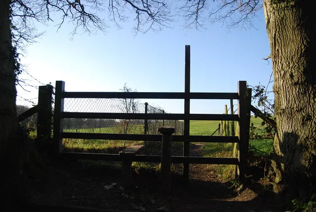
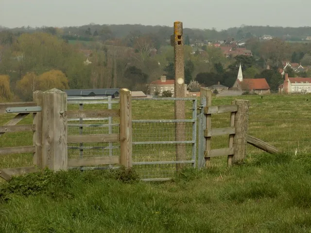
You can see this best from a footpath. Look at how the path follows a hedge rather than cutting across open ground. Look at where a gate has been placed. Look at the way a lane widens near a bend, as if it has been worn sideways by carts, animals and water. These are small clues, but they add up. The village is not just a collection of buildings. It is a pattern of use, and the land has had a say in every part of it.
Walking the Shape: Green to Valley Floor
A simple route from the green down towards the Chess makes the point without needing a map. Start on the level ground, then take a lane or footpath that drops towards the valley. You will pass gardens on different levels, walls doing quiet structural work, and hedges that screen the slope. The ground underfoot will change. The air will feel different. The traffic noise, if there is any, will fade.
Near the valley floor, the Chess takes over. The stream is small but persistent, and its presence explains a great deal about Chenies. The water meadows, the damp corners, the trees that like wet roots, the paths that need a boardwalk or a pair of boots in winter: all of it comes back to the stream and the springs that feed it. The village above and the valley below are two halves of the same arrangement.
What Winter Tells You
Winter is the best season for reading this landscape. Leaves are down, so you can see the lie of the land. Wet patches show where water gathers. Frost picks out the hollows and the gravelly paths, sometimes leaving the drier ground pale while the damp ground stays dark. Puddles sit in the same places year after year, which tells you they are not accidents. They are part of the design, whether anyone designed them or not.
In winter, the footpaths also remind you that Chenies is a working landscape, not a picture. Paths get muddy. Gates stick. Ditches overflow. The village adapts, as it always has done, with wellies, gravel, a bit of brushing and a willingness to take the long way round. That is not a flaw in the walk. It is the walk telling you the truth about the ground.
A Village You Can Read
You do not need to be a geologist to see any of this. You just need to slow down and notice where the land rises, where it holds water and where it lets it go. Chenies is a village built on chalk, gravel and a careful slope. The Chess runs below it, the springs feed it and the old boundaries still nudge the lanes this way and that. Once you have seen that, the familiar streets never look quite the same again.