Hedges, Stiles and the Shape of a Village: A Boundary Walk Around Chenies
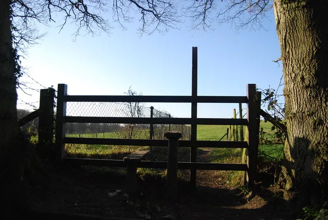
Photo: N Chadwick , CC BY-SA 2.0, via Wikimedia Commons
Parish boundaries can feel like admin: a dotted line on a map, a fact for form-fillers. On foot, they become something else entirely. Around Chenies the edge is ragged and readable — a hedge that turns a little too sharply, a stream doing the work of a fence, a lane that seems to lead nowhere until it slips between two fields. Walking it is a way of asking how the village got its shape, and why some corners still feel quietly out of step with the rest.
The old custom of beating the bounds was exactly that: a walk with a purpose. In 2026, we can borrow the spirit without pretending to be a legal perambulation. This is a suggested route on public rights of way, not a chance to hop gates or explore private land. Think of it as a boundary-inspired ramble: part history lesson, part muddy boots, part excuse to peer over a hedge and wonder who decided that particular field belonged here rather than there.
Why parishes walked their own outlines
Before reliable maps, a parish boundary lived in collective memory. Rogationtide — the weeks around late April and May — was the traditional moment for a perambulation: clergy, choir, churchwardens and willing villagers would walk the edge, pray for the fields and mark the limits. Young people were sometimes bumped against boundary stones or hedges, a memorable if unsubtle way of making sure the line was passed on.
The practical reasons were serious. Parishes once carried responsibilities for the poor, for roads, for church upkeep and for keeping the peace in their own patch. Knowing where your parish ended mattered. A stream, a hedge, a ditch or a particular tree could be as binding as a stone marker. Many boundaries were never grand monuments at all; they were working landscape features, maintained because they already had a job to do.
Chenies' edge reflects that layered history. The village sits in the Chess Valley, with the river and its slopes shaping the southern side, while lanes and field edges do the quieter work elsewhere. The manor, church and older farmstead patterns have left their imprint too. Follow the boundary for an hour and you stop seeing a single village green with a pub and a church. You start seeing a small settlement with a long, irregular hem.
Reading the edge, not just walking it
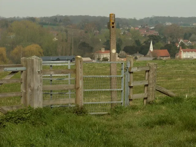
The pleasure of a boundary walk is in the details. A hedge may be old but not ancient; another may follow a ditch that once kept livestock in and water out. A stile might look like a simple convenience, but it is also a tiny legal doorway — a point where a right of way crosses a field boundary. Gates tell stories of their own: the sturdy modern latch, the peeling five-bar, the one that needs lifting slightly before it swings.
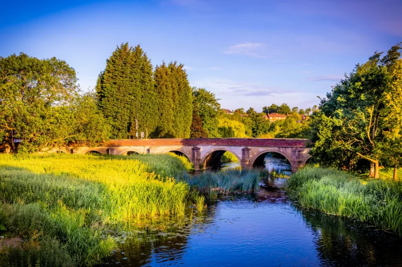
Near the Chess, the boundary logic becomes easier to feel. Water is a natural divider, and the valley's paths often run beside it rather than across it. Further up, lanes and hedgerows take over. Some hedges are parish boundaries; many are not. That is part of the charm. You are not following a painted line. You are following clues, and sometimes the clues disagree.
Route notes for a loose loop
A sensible starting point is Chenies village green, where you can get your bearings before heading towards St Michael's Church and the edge of the manor grounds. From there, pick up public footpaths heading down towards the Chess Valley. The route works best as a rough figure-of-eight or a generous loop of around five miles, taking two and a half to three hours at an unhurried pace. OS Explorer 172 covers the area, and a paper map is still the most reliable companion when a waymark has been swallowed by nettles.
Use the church tower, the valley slope and the river as broad guides rather than strict instructions. Follow waymarked paths, keep to field edges where the path does, and treat any gate as a thing to close properly rather than hurdle. The route described here is not an official boundary walk and does not grant access to private land. If a path feels ambiguous, check the map rather than assume.
Good waypoints to look out for include the churchyard, the lane climbing away from the valley, and the field gates where the footpath meets hedgerow. The exact sequence will depend on which paths are open and how much you enjoy retracing your steps. This is not a route for bagging a perfect circle. It is a route for noticing how the village meets its neighbours.
Mud, gates and the honest edge
Late autumn and winter are wonderful for this walk, but they are not dainty. Expect mud in the gateways, slick chalky slopes and puddles that look shallower than they are. Waterproof boots are essential; gaiters are a good idea if you dislike the feeling of cold water creeping up your socks. A walking pole helps on the descents towards the Chess, especially after rain.
Stay on the path when the ground is saturated. Widening a muddy verge may feel harmless, but it adds to erosion and can make access harder for everyone else. Dogs should be under close control around livestock and on leads where signs ask for it. Carry water and a snack; do not rely on a pub being open just because it looks inviting on the map. In winter, start early enough to finish before dusk, and check river levels if there has been heavy rain.
What the ragged edge leaves you with
Beating the bounds was never only about property. It was a ritual of belonging, a way of saying: this is our patch, these are its limits, and we know them by walking them. In 2026, few of us need a parish boundary to organise our civic lives. But the walk still has something to say. It reminds us that rights of way are not automatic. They are kept open by use, by maintenance and by people who notice when a stile is broken or a path is quietly lost.
The boundary around Chenies will not announce itself. Look for the older hedge line, the stream that seems too convenient, the gate that has been mended more than once. Walk it slowly, close what you open, and leave the ragged edge as you found it. The village will feel a little larger afterwards — and its quiet corners a little more legible.